
Services
Long Range 3D Scanning
- Fast capture of large-scale environments with minimal downtime
- High accuracy over long distances, even across hundreds of feet
- Safe data collection in hard-to-reach or hazardous areas
- Complete digital documentation of existing conditions
- Reduced manual measuring errors and field rework
- Ability to combine long-range scans with handheld scanner data for full-detail projects
- Improved planning for retrofits, fabrication, construction, and maintenance
- Accurate as-built models for engineering and CAD workflows
Long-range 3D scanning is commonly used in industries such as aerospace, automotive, marine, energy, manufacturing, architecture, construction, and heavy industrial facilities where large objects or environments need to be captured quickly and accurately.
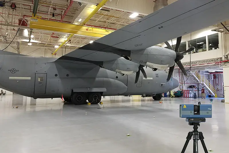
Surphaser Long Scanner Overview
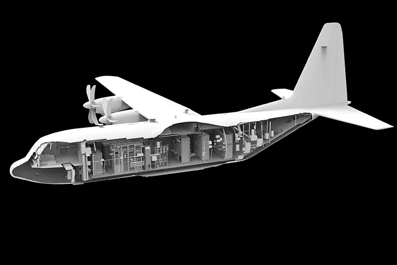
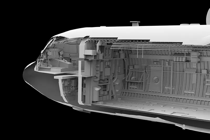
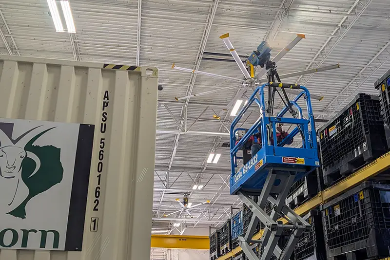
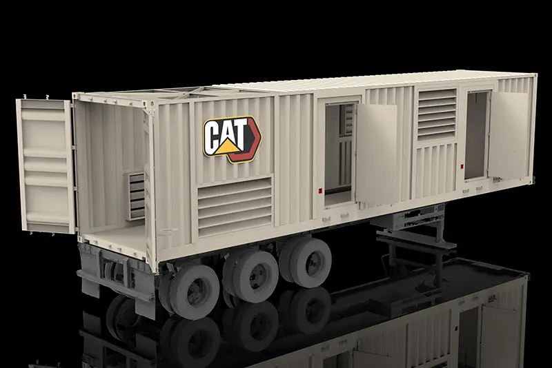
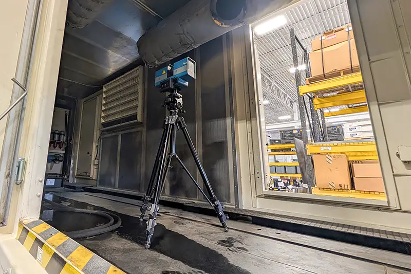
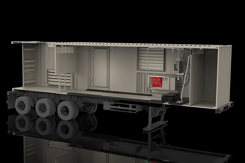
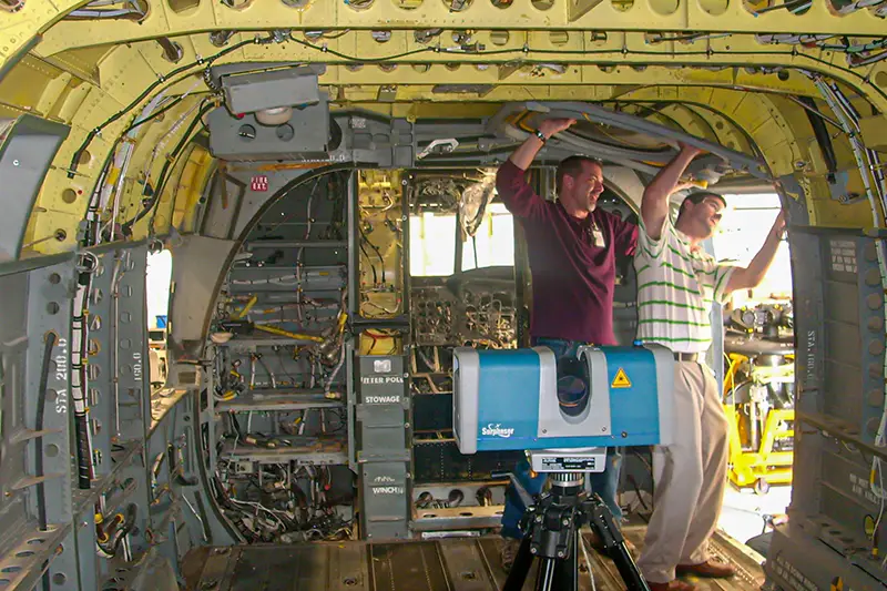
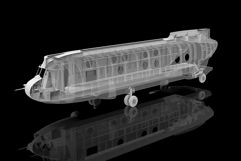
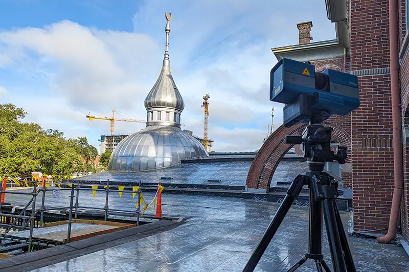
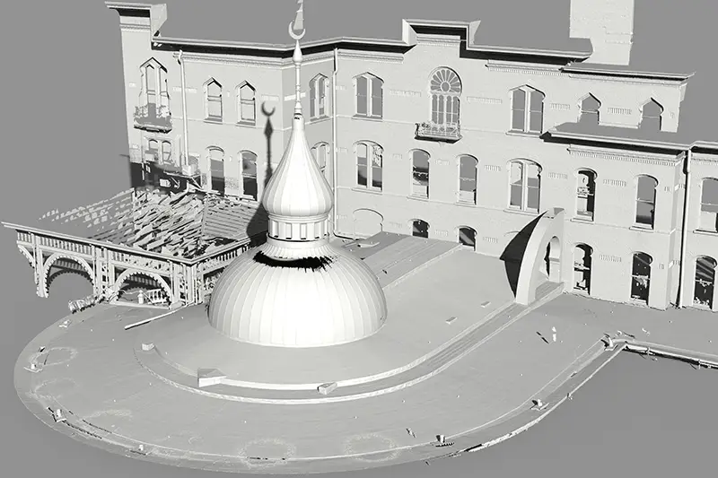
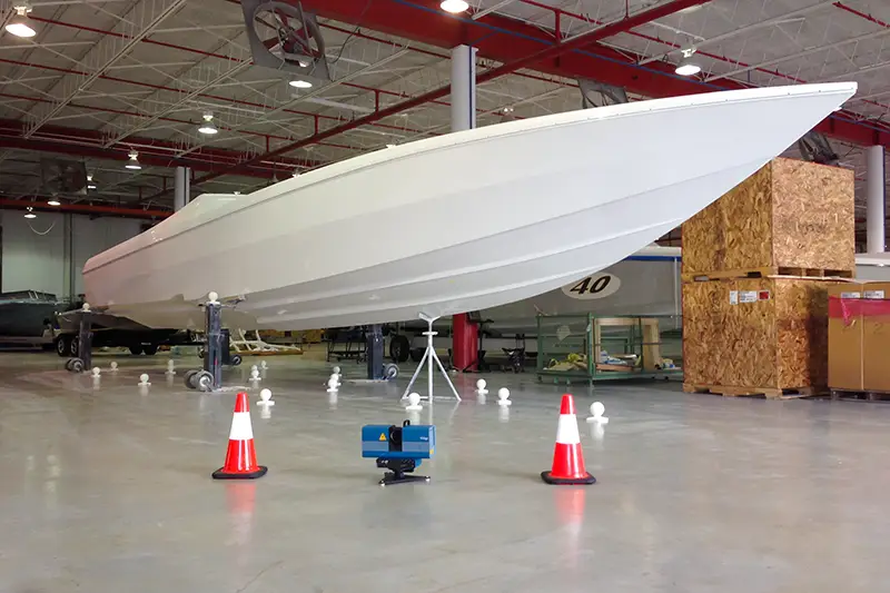
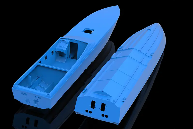
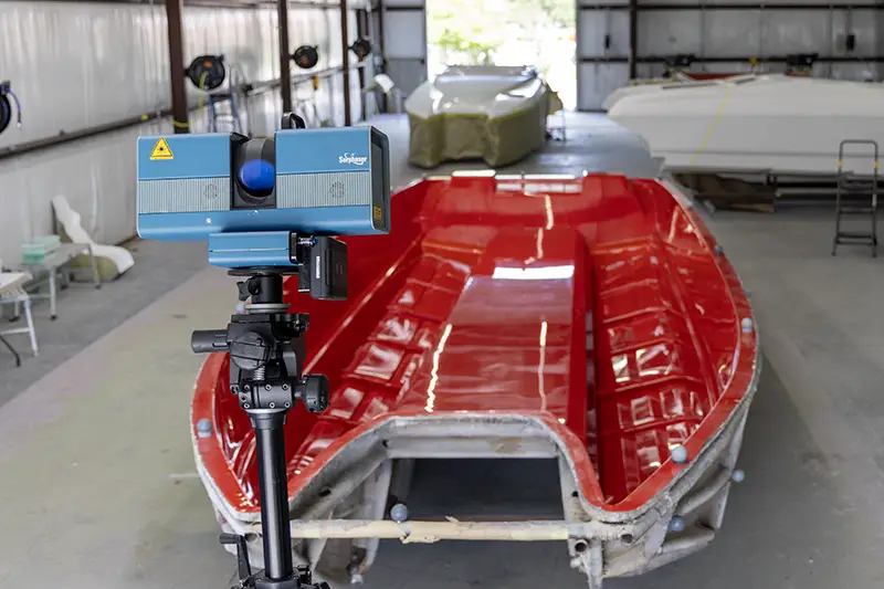
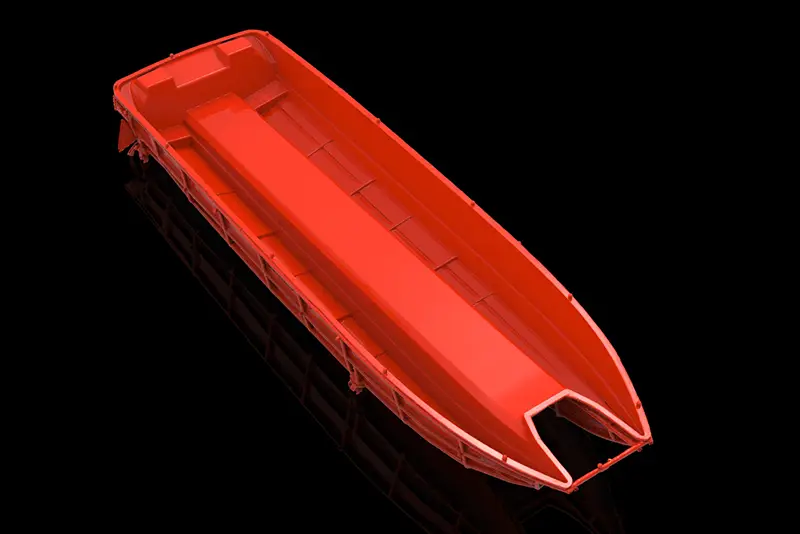
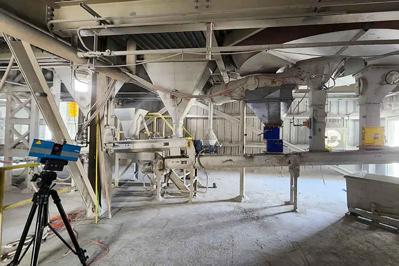
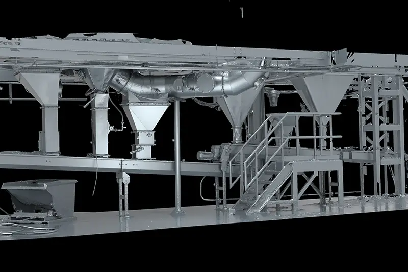
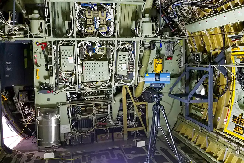
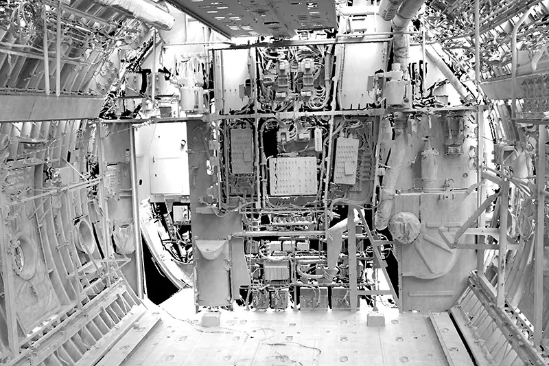
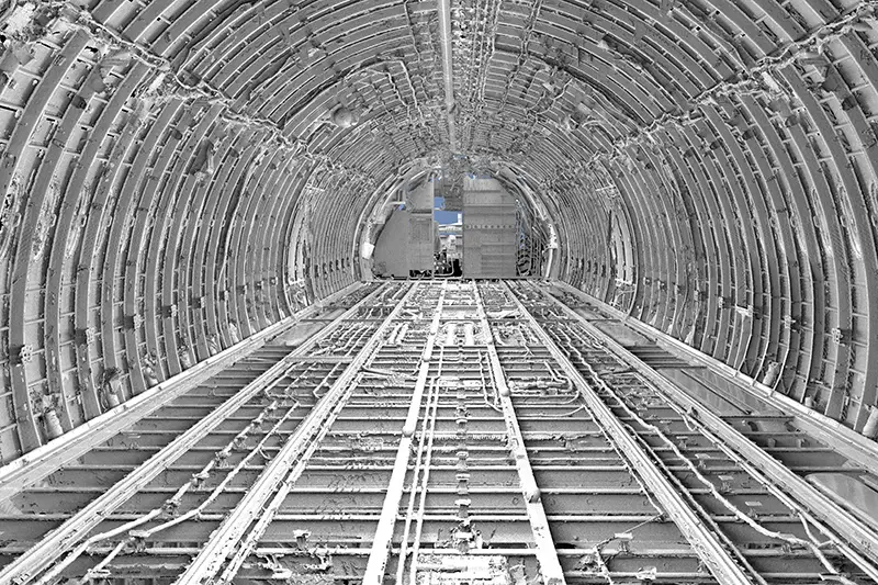
Surphaser Sample Projects
Get a Service Quote
Contact our team to discuss your project and see how 3D scanning can streamline your workflow.
Frequently Asked Questions & Technical Overview
Long Range 3D Scanning
Long-range 3D scanning has become a standard tool for documenting buildings, industrial plants, infrastructure, and terrain. It is also a technology that raises a lot of practical questions before a project begins: how far can it see, how accurate is it, what happens behind a wall or through a window, and what does the finished deliverable look like?
The answers below cover the questions we hear most often from architects, engineers, facility managers, and project owners evaluating long-range LiDAR for the first time.
01What is long-range LiDAR scanning and how does it work?
Long-range LiDAR is a non-contact way to measure big spaces and structures. The scanner fires rapid laser pulses—often millions per second—and times how long each pulse takes to bounce back from a surface. That time-of-flight calculation gives a precise distance. Combine those distances with the scanner’s known position and the direction of each pulse, and you end up with a dense set of X, Y, and Z coordinates. That collection of points is called a point cloud. From there, software turns the raw data into drawings, models, or virtual walkthroughs.
02What does “long-range” actually mean in 3D scanning?
Short-range or handheld scanners usually work within a few inches to maybe 10–15 feet. Long-range terrestrial scanners are built for much bigger distances—typically from about 20 feet out to several hundred meters, and some high-end systems can reach beyond a kilometer in open conditions. The exact usable range depends on the scanner model, surface reflectivity, weather, and how dense you need the data to be.
03How is long-range LiDAR different from short-range 3D scanning?
It mostly comes down to scale versus fine detail. Short-range scanners (structured light, blue light, or close-range laser) are great for tight tolerances on smaller objects—machine parts, molds, artifacts, that kind of thing. Long-range scanners use time-of-flight or phase-shift laser technology to cover construction sites, industrial plants, bridges, building exteriors, and large interiors. You trade some of the micron-level precision of a metrology arm for the ability to capture an entire facility or structure in a reasonable amount of time.
04How accurate are long-range LiDAR scanners?
Most professional terrestrial systems deliver single-point accuracy in the 2–6 mm range at typical working distances (roughly 30–100 meters). That is not the same as the sub-micron or few-micron performance you get from a high-end metrology arm or laser tracker, but it is more than enough for as-built documentation, clash detection, BIM modeling, civil surveying, and most construction or industrial retrofit work. Accuracy can shift with distance, surface type, environmental conditions, and how carefully the scans are registered together.
05What are the most common uses for long-range 3D scanning?
Anywhere manual measurement is slow, unsafe, or just impractical. Architecture and construction teams use it for as-built documentation, BIM, and historic preservation. Industrial facilities map complex piping, structural steel, and process plants without long shutdowns. Civil engineers scan bridges, tunnels, highways, and terrain. Forensic teams capture crash or failure scenes before evidence is disturbed. You also see it in power generation, oil and gas, aerospace, and large-scale manufacturing when teams need a reliable digital record of existing conditions.
06What is a point cloud?
A point cloud is the raw output of a LiDAR scan—basically a massive collection of individual 3D points that all live in the same coordinate system. Each point has an X, Y, and Z location. Many scanners also record intensity (how strongly the laser bounced back) and, if the unit has cameras, color (RGB) values. From that cloud you can measure distances, extract geometry, create meshes, or model walls, pipes, and structural steel.
07Can long-range LiDAR capture color photos too?
Yes. Most modern terrestrial scanners have built-in high-dynamic-range cameras. After the laser finishes measuring geometry, the scanner takes a panoramic set of photos and maps those color pixels onto the 3D points. The result is a photorealistic point cloud that is easier for people to orient themselves in and that supports virtual walkthroughs or presentations.
08How long does a single long-range scan take?
A single station can take anywhere from under a minute to around five minutes, depending on the scanner and the resolution settings you choose. The bigger time sink is usually the number of setups. Because LiDAR needs a clear line of sight, you typically move the scanner around a building or structure several times so you can fill in shadow areas and get complete coverage. Registration and field checks add more time after the data is collected.
09What is scan registration and why does it matter?
Registration is the process of stitching multiple individual scans into one coherent 3D model. Crews use physical targets (spheres or checkerboard cards), cloud-to-cloud matching algorithms, or onboard GPS/IMU data so the software knows how each station lines up with the next. Good registration is what keeps the overall model accurate. Poor registration shows up later as gaps, misaligned features, or measurement errors when someone tries to use the data for design or fabrication.
10Can LiDAR scan through walls or dense vegetation?
No laser goes through solid walls. If something blocks the beam, you simply get no data behind it. Vegetation is different. Airborne and some terrestrial systems can send pulses through gaps in leaves and branches. Multi-return LiDAR records those intermediate hits and the final ground return, which lets surveyors filter out the canopy and build bare-earth digital elevation models. That capability is one reason drone LiDAR is popular for topographic work in wooded areas.
11Does long-range scanning work in the dark or in bright sunlight?
In total darkness, yes—LiDAR brings its own light source (usually near-infrared lasers), so it works fine in unlit tunnels, basements, mines, or night-time exterior scans. In bright sunlight the answer is also yes, though intense midday sun can add a little noise at longer ranges. Higher-end terrestrial scanners use narrow optical filters to help separate the laser return from ambient light.
12Are long-range scanning lasers safe for people’s eyes?
Almost all commercial survey-grade LiDAR scanners use Class 1 or Class 1M eye-safe lasers. Under normal operating conditions they do not pose a risk to operators, bystanders, or people walking past the work area. Still, crews follow manufacturer guidelines and basic site safety practices, just as they would with any other laser-based instrument.
13What deliverables do you typically get from a long-range scan?
Raw point clouds are rarely the final product. After processing, common deliverables include 2D CAD drawings (floor plans, elevations, sections), 3D BIM models in Revit or similar software, topographic contours and volume calculations, mesh models, and interactive web-based viewers or virtual walkthroughs. Some projects also produce clash reports, deformation maps, or digital twins that can be updated over time. The exact package depends on what the design, construction, or facility team actually needs to use.
14What limitations should you plan for with long-range LiDAR?
A few practical ones come up regularly. Highly reflective or transparent surfaces (glass, polished metal, mirrors) can scatter or pass the laser and leave holes or false points in the data. Anything that blocks line of sight—parked vehicles, scaffolding, furniture—creates shadows that need extra setups to fill. Large projects also generate big files (tens or hundreds of gigabytes), so you need solid processing hardware and a plan for storage and sharing. Knowing these limitations up front helps you schedule the right number of stations and set realistic expectations for the final model.
15Should you buy a long-range scanner or hire a scanning service?
A quality terrestrial scanner, software licenses, training, and ongoing calibration can easily run $30,000 to well over $100,000 before you factor in the learning curve for registration and modeling. If your team is scanning multiple jobs every month and has the internal capacity to process the data, ownership can make sense. For occasional as-builts, large site surveys, or projects that need experienced operators and clean deliverables on a deadline, hiring a service provider is usually the more practical and cost-effective route. The real cost of ownership includes people, software, and the risk of bad data—not just the price of the instrument.
